
Keerthi Sabu
Biography of instructor/staff member #1
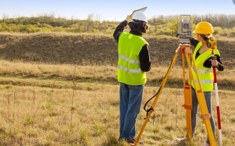
The course surveying and Geomatics is a core subject of Semester 3, Civil Engineering Students. Surveying or land surveying is the technique, profession, art and science of determining the terrestrial or three-dimensional positions of points and the distances and angles between them. Geomatics is the discipline of gathering, storing, processing, and delivering spatially referenced information. It encompasses the fields of surveying, mapping, remote sensing (LiDAR or HDS Scanning), photogrammetry, hydrography, global positioning systems (GPS), and geographic information systems (GIS)..
After the Course the Student will be able to
CO1-Apply surveying techniques and principles of leveling for the preparation of contour maps, computation of area-volume and sketching mass diagram.
CO2-Apply the principles of surveying for triangulation.
CO3-Apply different methods of traverse surveying and traverse balancing.
CO4-Identify the possible errors in surveying and apply the corrections in field measurements.
CO5-Apply the basic knowledge of setting out of different types of curves.
CO6-Employ surveying techniques using advanced surveying equipments.
Basis knowledge on Mathematics.
Biography of instructor/staff member #1

Biography of instructor/staff member #2
The Open edX platform works best with current versions of Chrome, Edge, Firefox, Internet Explorer, or Safari.
See our list of supported browsers for the most up-to-date information.
Your answer would be displayed here.
© FISAT. Ernakulam, Kerala 683577.